
Middletown Township ZIP Code Coverage
Only three postal ZIPs are verified as occurring in Middletown Township records: 19047 with a Langhorne label, plus 19056 and 19057 with Levittown labels. That evidence does not say that any whole delivery area is the Township. The reliable question is whether a particular physical address is in the Township after both USPS and county parcel information have been checked. The table records the official Township-associated evidence without turning a postal service area into a boundary claim.
| ZIP | Areas covered | Post office | Notes |
|---|---|---|---|
| 19047 | Township-associated addresses including the Municipal Center | Langhorne label | Postal label does not define the municipal boundary. |
| 19056 | Lower Township polling locations and Tax Collector address | Levittown label | Lower-Township evidence only, not a full delivery-area claim. |
| 19057 | Lower Township polling locations | Levittown label | Postal community label, not a political boundary. |
The nearby Levittown postal community also includes 19055, but the confirmed library example is in Bristol Township. It is not listed here as Middletown Township coverage. No official source in the research established a local ZIP realignment, unique ZIP, PO-box-only Township ZIP, population total, or complete municipal boundary table. An address-level check is the defensible method.
Middletown Township Postal Geography
Middletown Township lies in a lower Bucks landscape where postal communities and local governments overlap. The Township Municipal Center at 3 Municipal Way carries the Langhorne 19047 label, while the Township Tax Collector at 2222 Trenton Road carries the Levittown 19056 label. Those official addresses demonstrate the difference between a delivery convention and a municipal jurisdiction. They do not make Langhorne or Levittown a substitute for the Township field on a parcel record.
The Bucks County polling-place list is the source for the successful page image and for the Middletown Township precinct evidence behind the table. It includes Township locations with 19047, 19056, and 19057 postal ZIPs. Polling locations show that a ZIP occurs in a Township record, not that every address in that ZIP falls within Middletown Township.
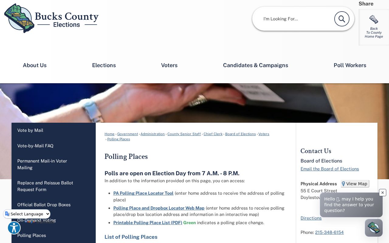
Use the polling information as local context, then confirm the address itself. This keeps an inquiry about a Lower Bucks street from being redirected solely because it shares a Levittown label with locations in other municipalities.
Verify a Middletown Township ZIP
USPS ZIP Code Lookup verifies a physical Middletown Township address and can return the standardized delivery address with ZIP+4. Enter the street address, city, and state as known, then retain the standardized result. USPS routes mail. It does not identify a parcel owner, establish Township jurisdiction, or create a list of residents in a postal area.
Next use the Bucks County Maps and Data portal and its Parcel & Floodplain Viewer to check the parcel and its municipality. The viewer supplies parcel context, while its map geometry remains reference information rather than a legal survey. For a current assessed-owner or parcel lead, proceed to Bucks Assessment iCare. This address-first handoff is the core of a ZIP code directory search in Middletown Township.
Middletown Township 19047 Checks
For a Middletown Township 19047 address, begin with the Langhorne postal label but do not stop there. The official precinct inventory includes numerous Middletown lower and upper locations using this ZIP, including Municipal Way, Avenue D, Trenton Road, Old Lincoln Highway, and Langhorne-Yardley Road. The same label appears around independent Langhorne-area boroughs, so the county parcel’s municipality field is the next decision point.
Once the parcel confirms Middletown Township, the address can be matched to an assessment record, a recorded instrument, or a narrow municipal request. If the address lies in a different borough or township, the relevant local file belongs with that government even when the postal city says Langhorne. A postal match alone is never enough to identify the custodian.
Middletown Township 19056 Checks
Use 19056 as a Middletown Township Levittown delivery and lower-Township clue. The polling-place list places Township Lower 5, 7 through 8, and 10 through 12 locations in this ZIP, and the Tax Collector uses a 19056 address. The appropriate sequence remains physical address, USPS confirmation, county parcel municipality, and then the particular assessment, Recorder, or municipal file.
Levittown is a planned community that spans more than one municipal government. It is therefore not a records-office selector. A Middletown Township parcel may have a Levittown mailing label, and another Levittown address may call for a different municipal custodian. The recorded legal description and parcel number are steadier cross-office identifiers than the postal community name.
Middletown Township 19057 Checks
For a Middletown Township 19057 address, the official precinct list identifies Lower 3 through 4, 6, and 9 locations, including Cobalt Ridge Drive South and Bristol Oxford Valley Road. It is also a Levittown postal label rather than a governmental line. Verify the actual street and parcel before assuming that a nearby address belongs to the same municipality or has the same records route.
A result on one street must not be broadened into a list of people across the ZIP. The correct follow-up is a known address or parcel search. This precaution is especially important in the lower Township, where physical proximity and a shared delivery label can cross a municipal boundary.
Middletown Township Tax Mailing Fields
The Bucks Tax Claim public inquiry is the one locally inspected property form with a visible ZIP field for a Middletown Township search. That field sits with Mailing Address and City, so it narrows tax-correspondence data. It is not a ZIP-wide resident, property, or ownership directory. Search a known record and label each field according to what it actually describes.
| Tax Claim field | What it describes | How to use it |
|---|---|---|
| Parcel Number | County tax-map identifier | Best key for joining parcel, assessment, map, and recorded sources. |
| Location Address | Physical situs | Start an address or parcel inquiry here. |
| Municipality | Governmental jurisdiction | Use to choose the proper municipal office. |
| Name | Tax Claim search term | Check its record context; it does not identify a household. |
| Mailing Address | Tax correspondence destination | May differ from the physical site or owner location. |
| City | Mailing-city component | Read with the mailing address, not as parcel jurisdiction. |
| Zip Code | Mailing-address ZIP component | Use only as a correspondence filter, never a broad people search. |
The common mismatch is simple: a situs address tells where a parcel is, while the mailing city and ZIP say where tax correspondence goes. A parcel number bridges systems. A legal description in a deed or plan can resolve a pre-address tract, lot, or road reference when the mailing information cannot.
Middletown Township ZIP Code Directory Workflow
No reviewed local source provides a lawful bulk search for Middletown Township residents within one ZIP. The Tax Claim ZIP field is tied to mailing data; iCare uses number, direction, street, and suffix rather than a confirmed ZIP mode; LANDEX is organized by county, party, date, document, instrument, or book and page; GIS searches address and parcel. Voter Services is only an individual verification route, and state voter-list products require certification and cannot be published on the internet.
- Start with one complete physical address, rather than a ZIP-wide name list.
- Confirm the standardized postal result through USPS, including ZIP+4 where returned.
- Open the county parcel viewer and verify the parcel municipality before contacting any municipal office.
- Use iCare for the assessed-owner and parcel lead, or the Tax Claim form only for its limited tax-record context.
- For recorded history, search LANDEX by party and date, then obtain the appropriate image or use the Recorder counter.
After the address and jurisdiction are narrowed, the Middletown Township Street Directory explains the address-and-parcel trail in more detail. This ZIP code directory remains focused on postal verification and the boundary handoff, not a street-by-street roster.
Historic Middletown Township Places
Modern postal logic should not be inserted into older Middletown Township household records. The 1914 Farm Journal directory uses locality names such as Woodbourne, Emilie, Oxford Valley, and Langhorne, rather than current ZIPs. Earlier deeds can name tracts, lots, and adjoining owners. Preserve the source’s locality and date first, then reconcile it with the deed legal description, tax list, current parcel map, and finally the current USPS delivery result.
The local history also matters. Historic Middletown fragments include Langhorne, Langhorne Manor, Hulmeville, and Penndel, while Attleboro became Langhorne in 1876. A search across these names can explain why a record changes its place label without proving that a family moved. Levittown’s later development adds another layer: a familiar postal label may describe a community that crosses municipal governments.
Middletown Township ZIP Code Boundaries
Postal areas are delivery conventions, so their edges can disagree with Township and borough lines. The usable record sequence is postal address, parcel municipality, parcel number, and then the record custodian. Do not infer title from an address label, do not treat a map polygon as a legal survey, and do not describe a mailing destination as a current occupant.
- ZIP versus ZIP+4
- The base ZIP routes mail to an area. ZIP+4 adds a more specific delivery segment for the complete standardized address.
- PO-box ZIP
- A postal ZIP assigned to post-office boxes rather than proof of a physical service area. No Middletown Township example was verified in the research.
- Unique ZIP
- A ZIP assigned for a particular organization or delivery arrangement. No local example was verified, so none is claimed here.
- Carrier route
- A mail-delivery grouping used by USPS. It is not a municipal boundary or a list of residents.